Animated Live Radar
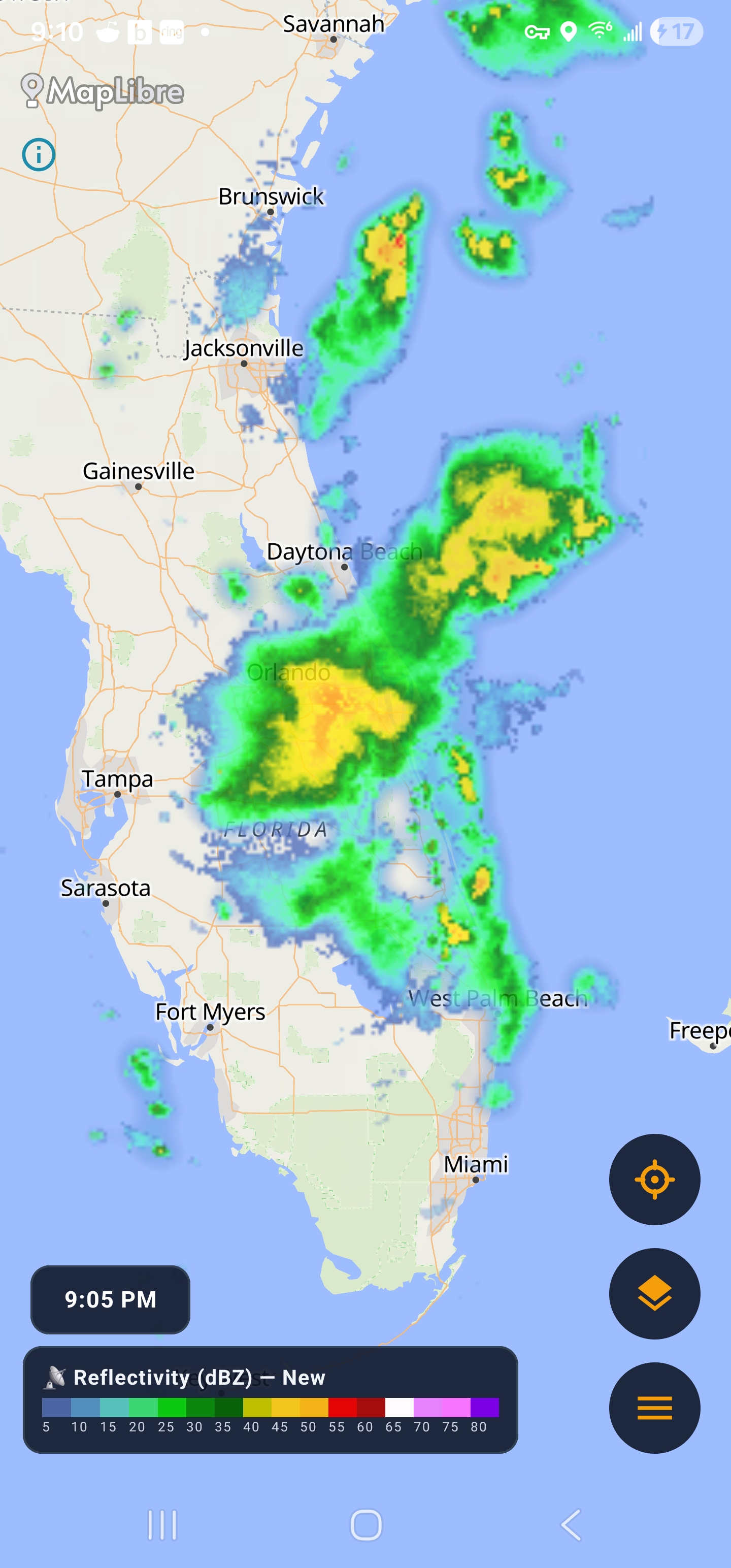
Frame-by-frame NEXRAD animation from NOAA. Pan, zoom, and watch storms develop — not a single static image.
Isobaric is an alert weather radar for Android. Animated NEXRAD imagery from NOAA. Severe weather warnings pushed the second they’re issued. Real conditions, 7-day & hourly forecasts, lightning and storm tracking — on one map.
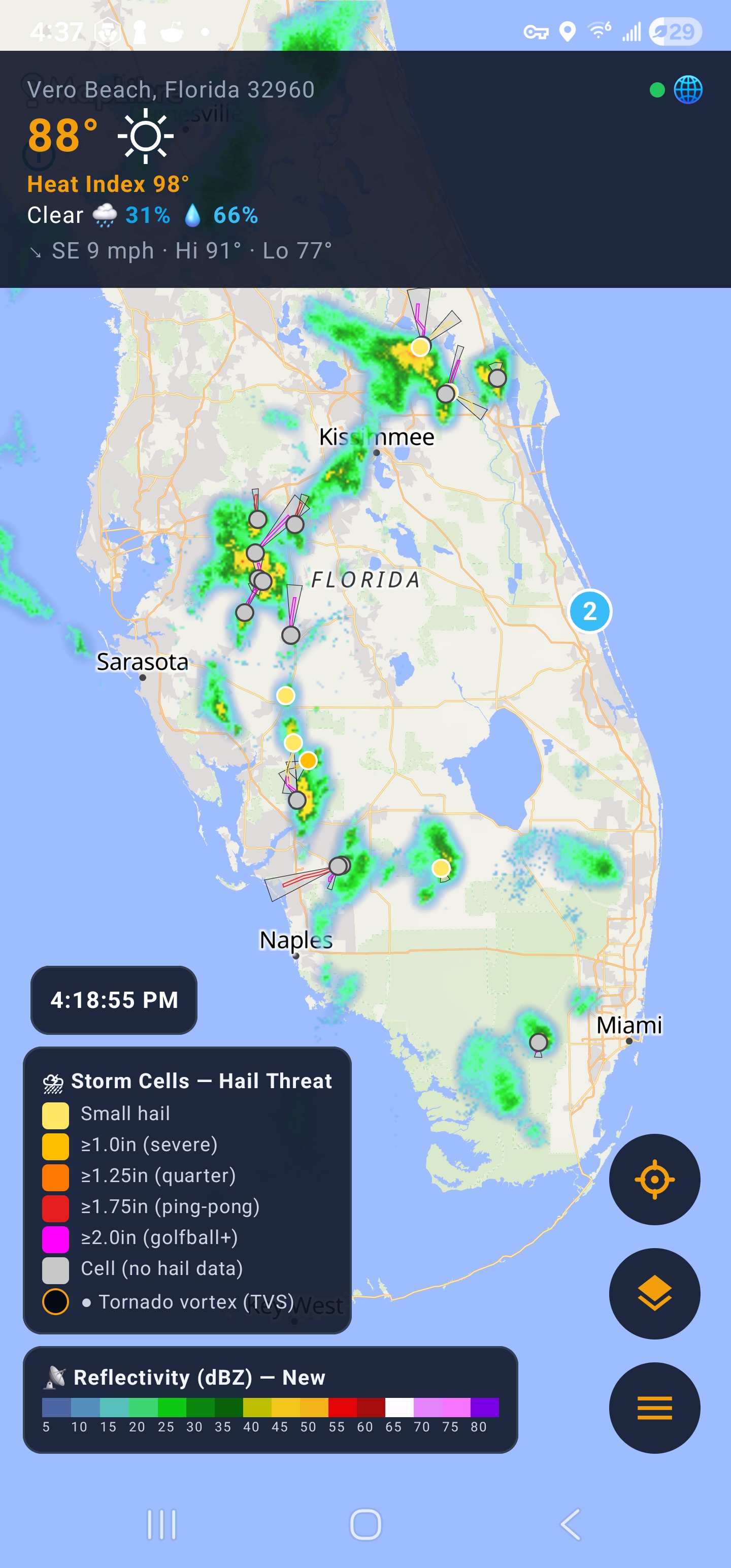
Real data, processed on your phone, delivered the moment it matters.
Frame-by-frame NEXRAD animation from NOAA. Pan, zoom, and watch storms develop — not a single static image.
Tornado, severe thunderstorm, flood, winter and more — pushed the instant they’re issued, with map polygons, a banner, a ticker and a full history.
Live ASOS/AWOS station observations: temperature, feels-like (heat index & wind chill), humidity and wind — real readings, not model guesses.
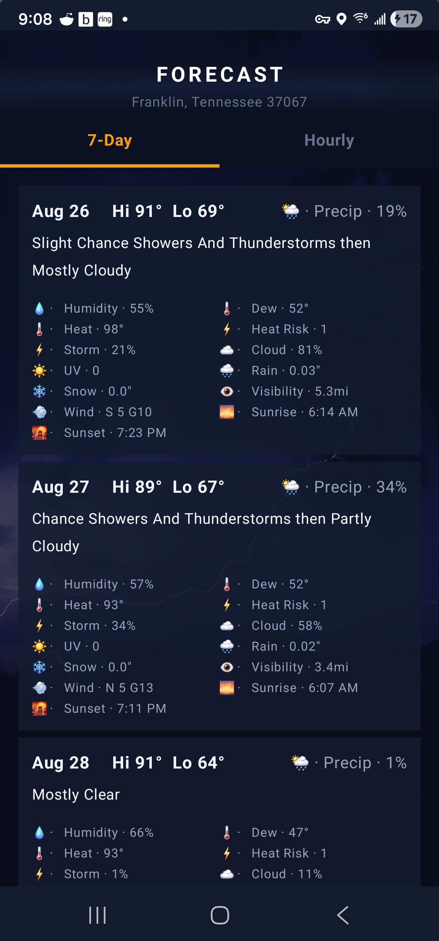
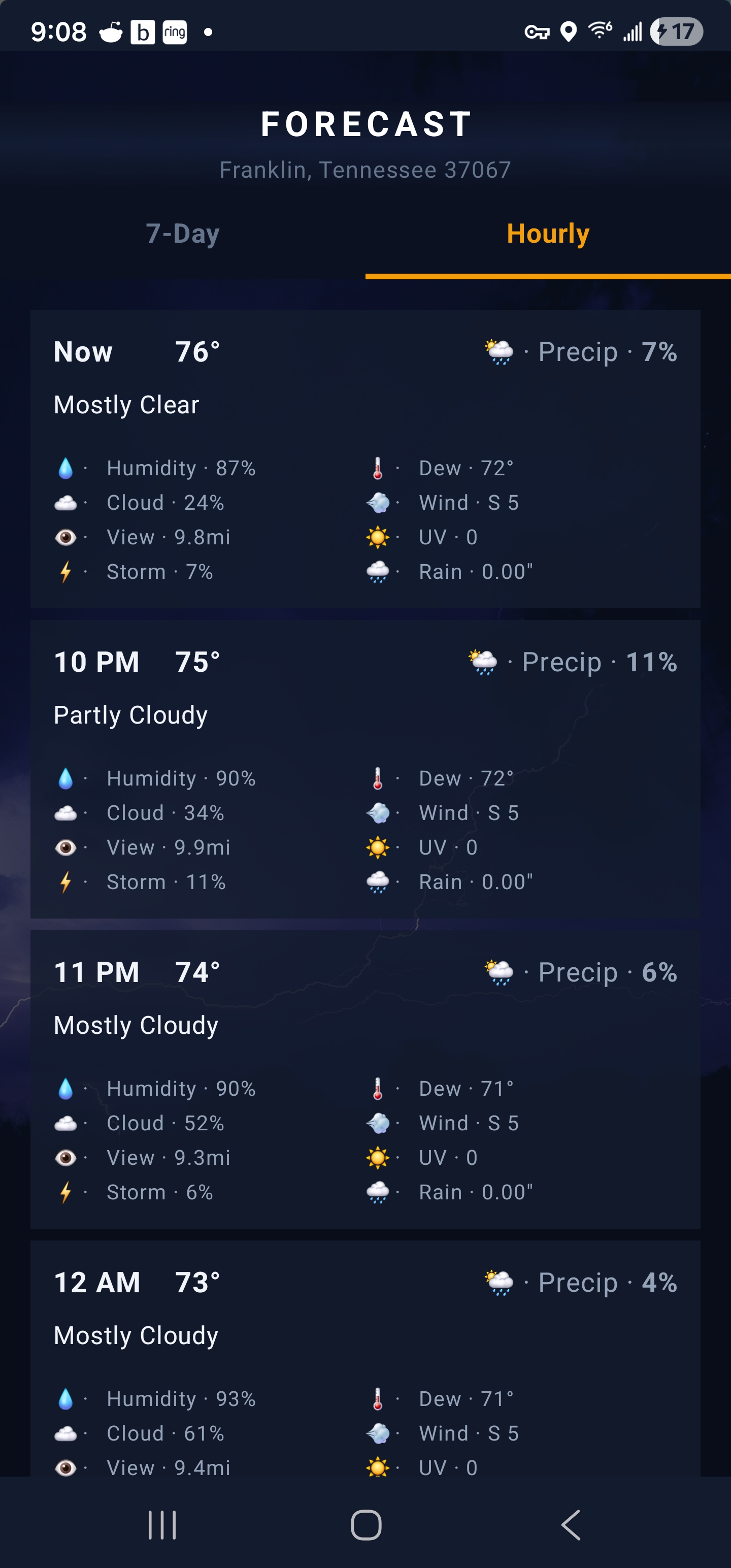
7-day and 24-hour outlooks built from NWS gridpoint data — precipitation odds, wind, gusts, snow and thunder, with icons for every hour.
Lightning strike-density overlay with instant alerts, plus NEXRAD storm-cell tracking — position, intensity, motion and TVS detection.
Ground-clutter filter, velocity radar, custom alert sounds, pinned locations, offline caching, OpenFreeMap vector maps and a Google Maps fallback.
From “is that a storm?” to shelter — the whole story in one app.
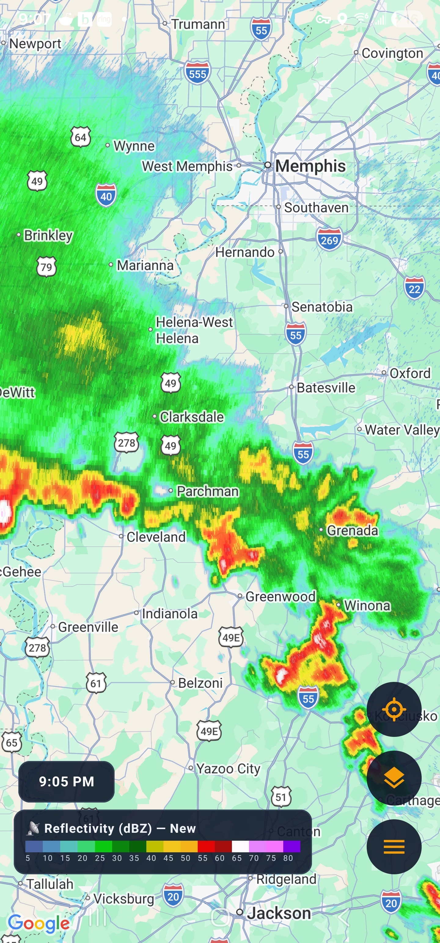
Animated radar over a clean vector map, with live conditions, an expandable alert banner and a scrolling alert ticker.
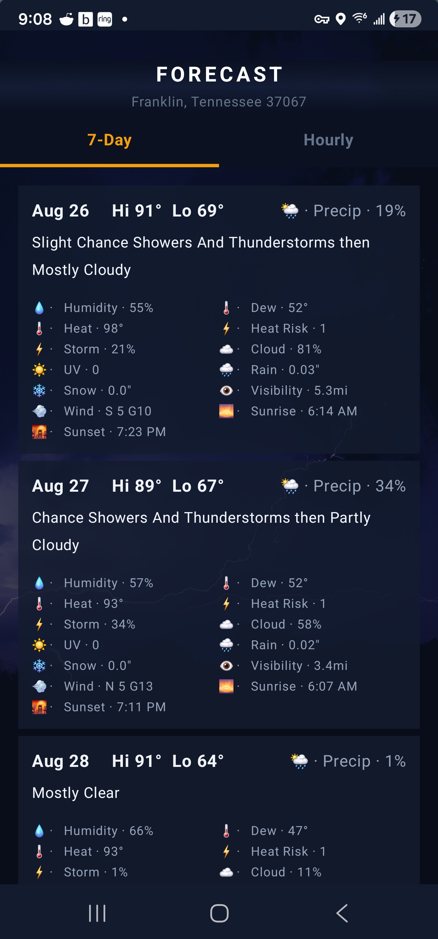
NWS gridpoint forecasts with precipitation odds, wind, gusts and snow — cached so you still see it offline.
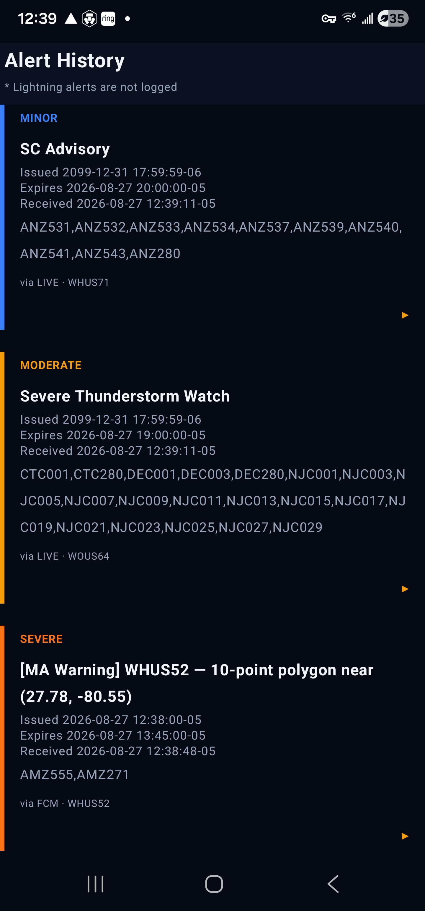
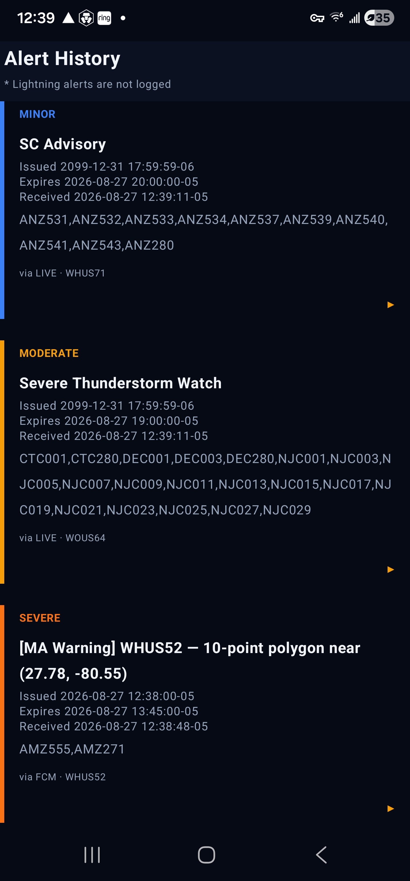
Every warning with the full issued → delivered → received chain. Tap to expand the complete NWS text.
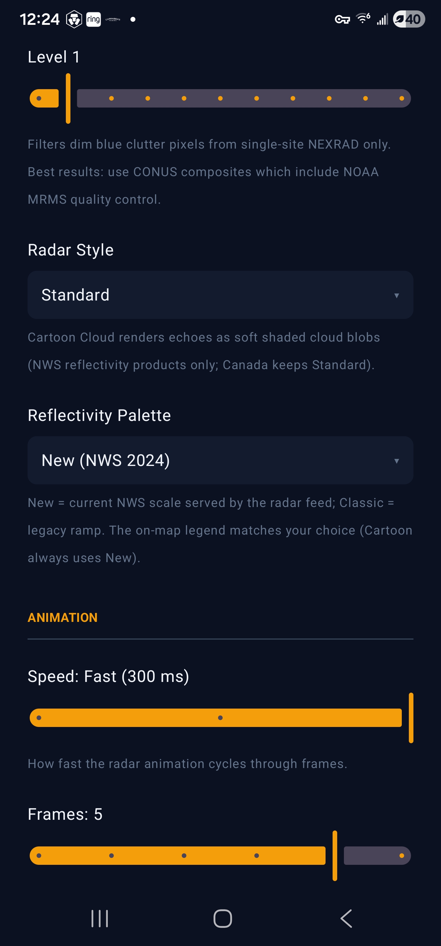
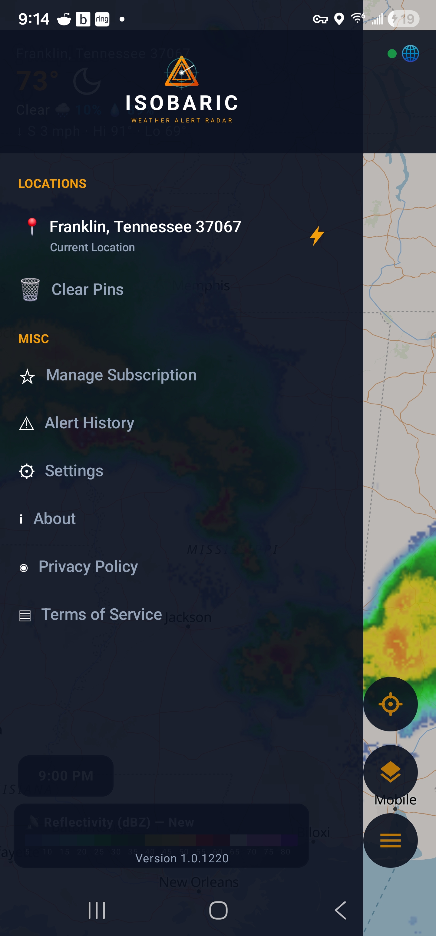
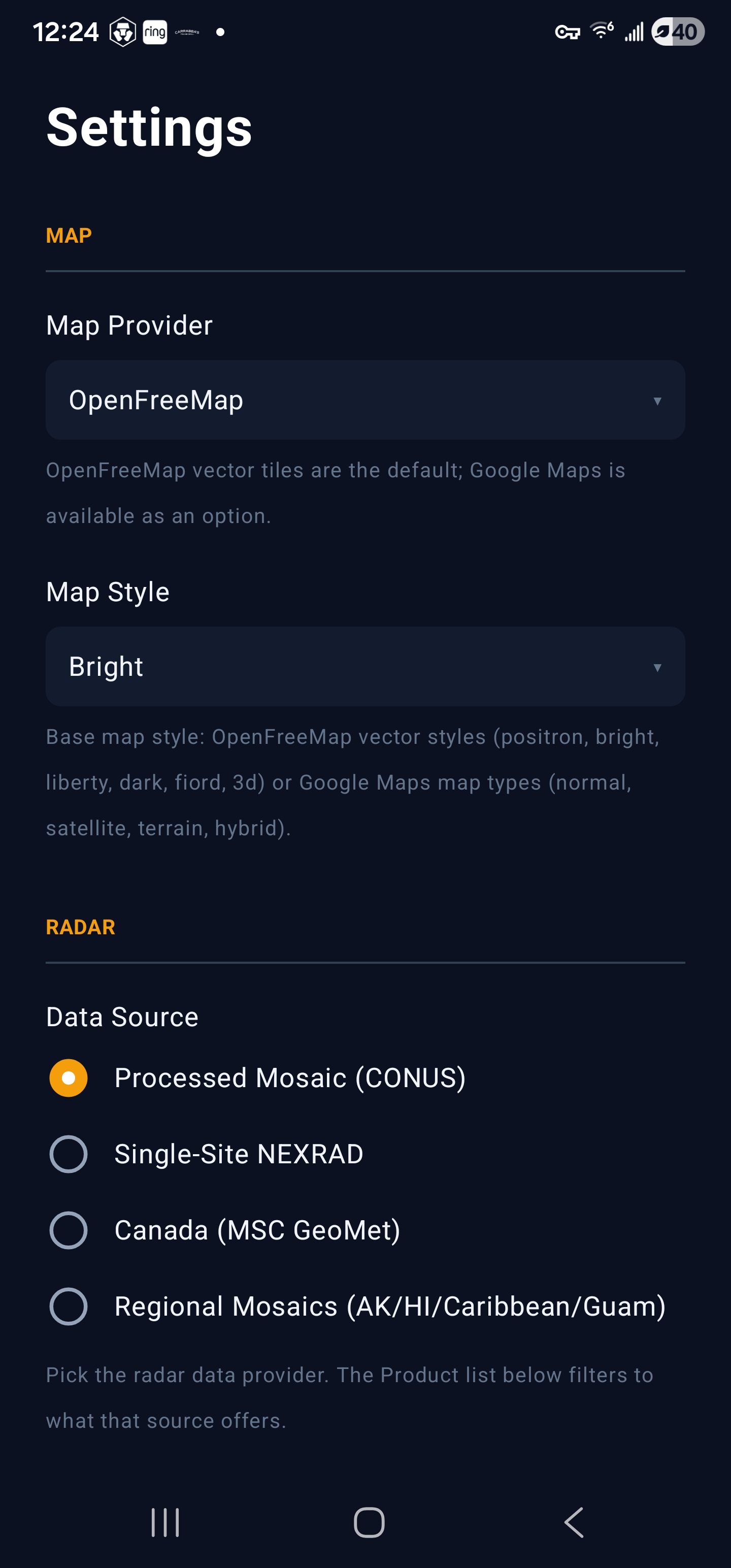
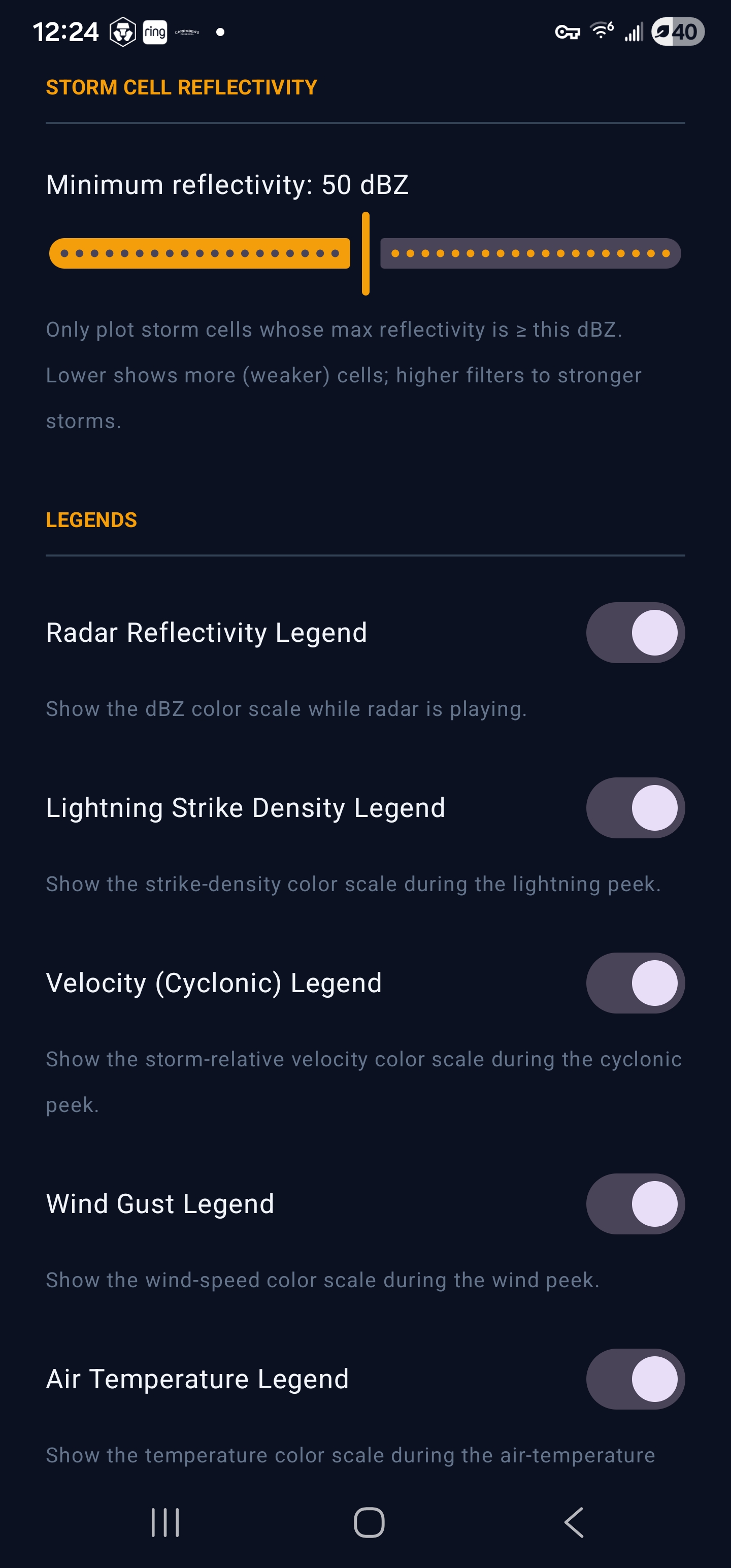
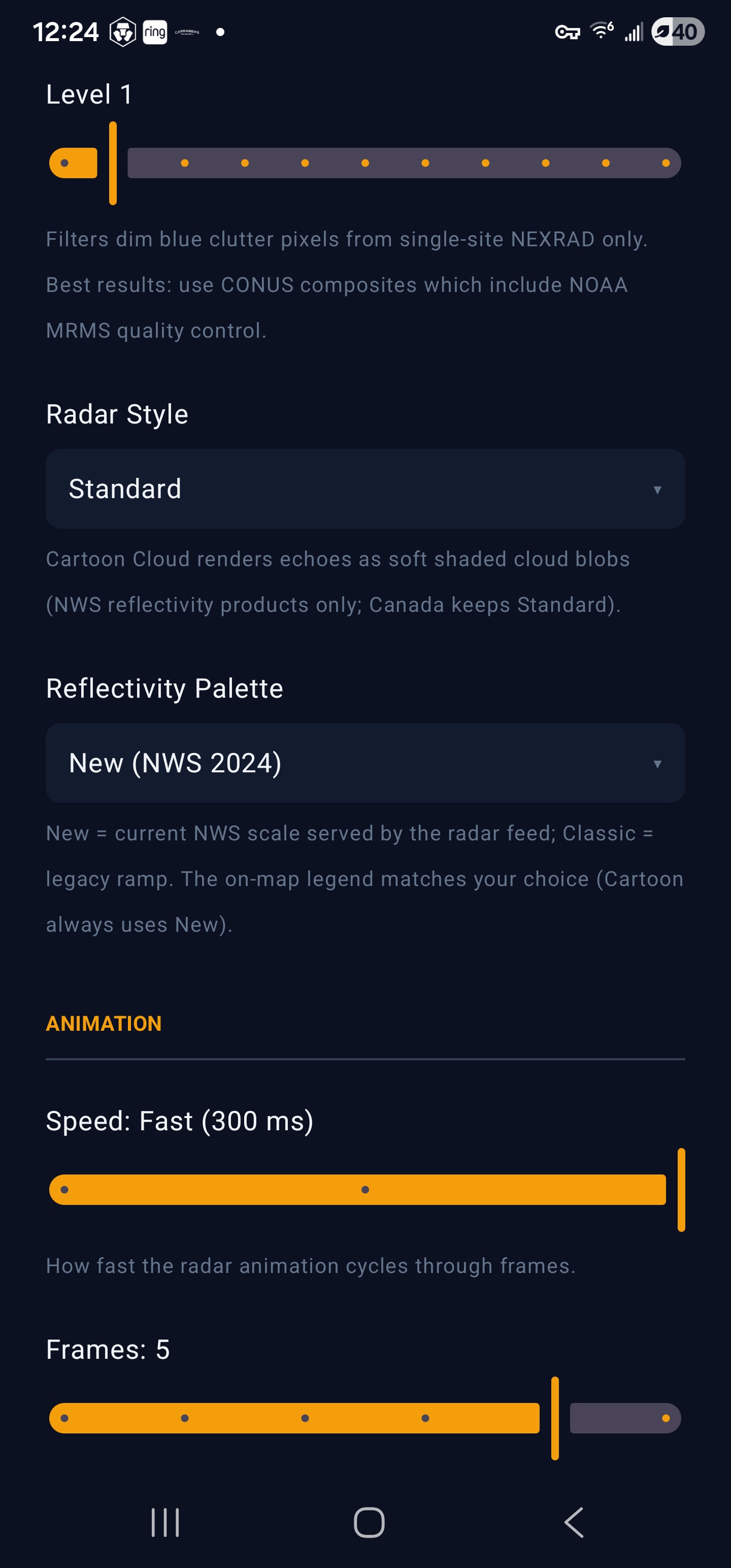
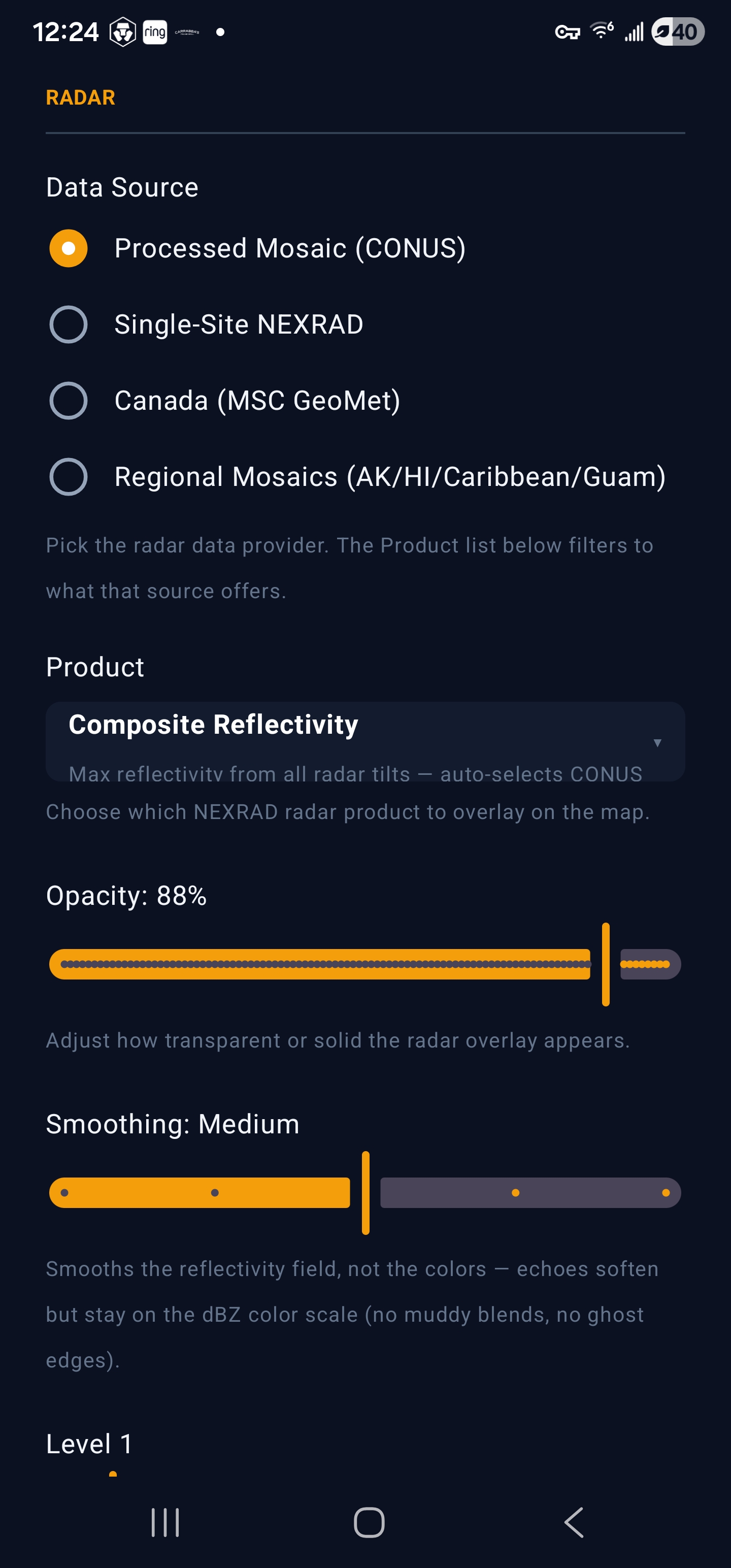
Tune animation speed, frames, opacity and the ground-clutter filter; choose alert categories, map style and sounds.
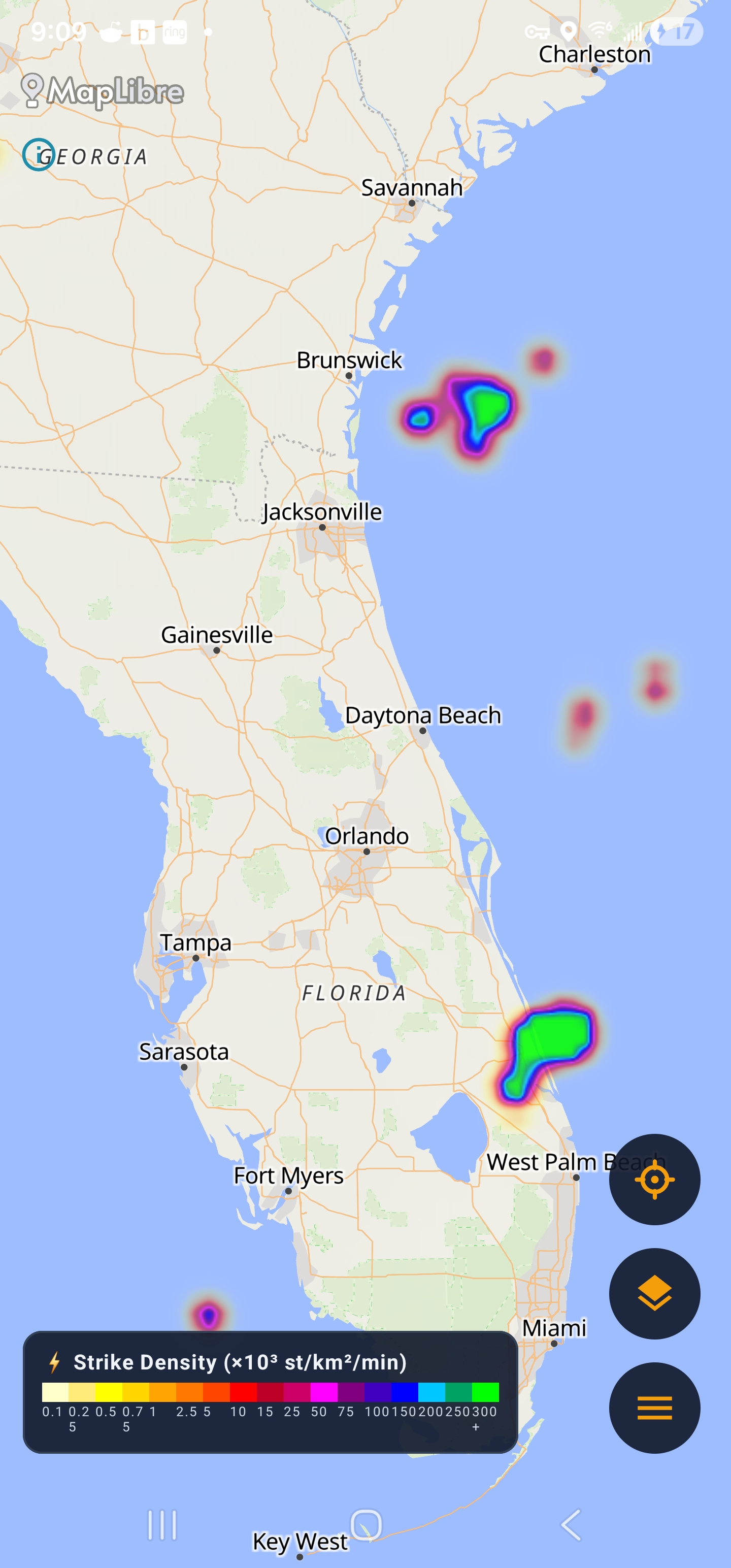
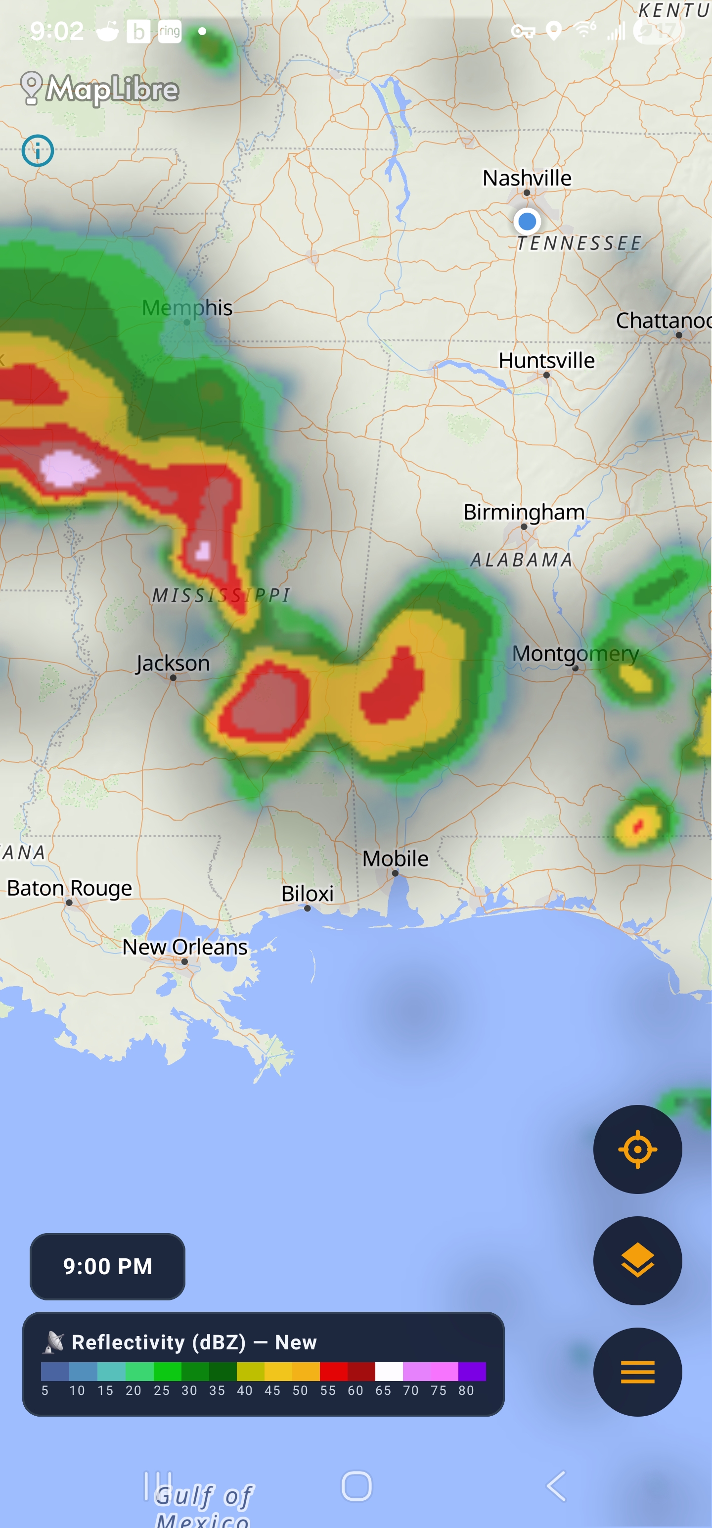
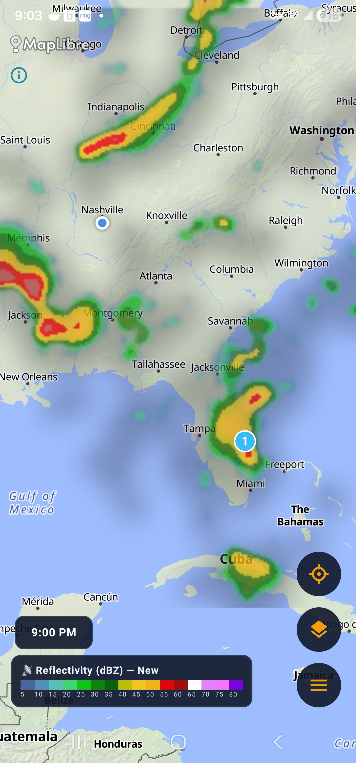
Map base styles, radar layers, forecasts and storm tracking — real captures from the app.
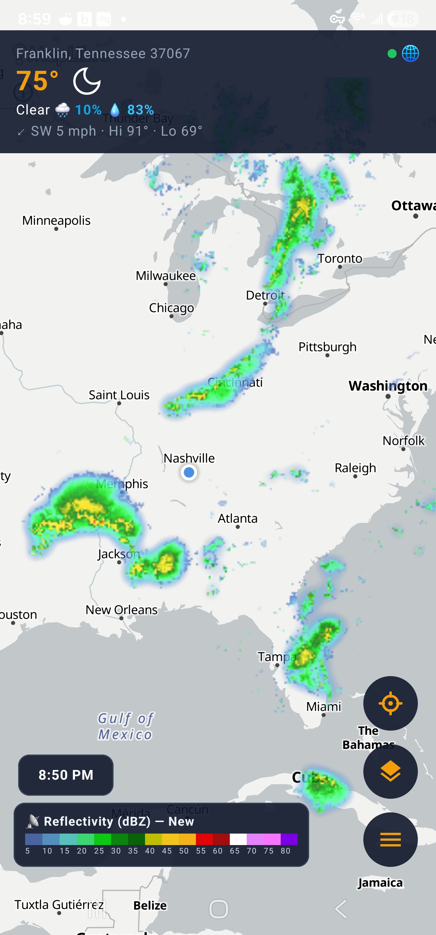
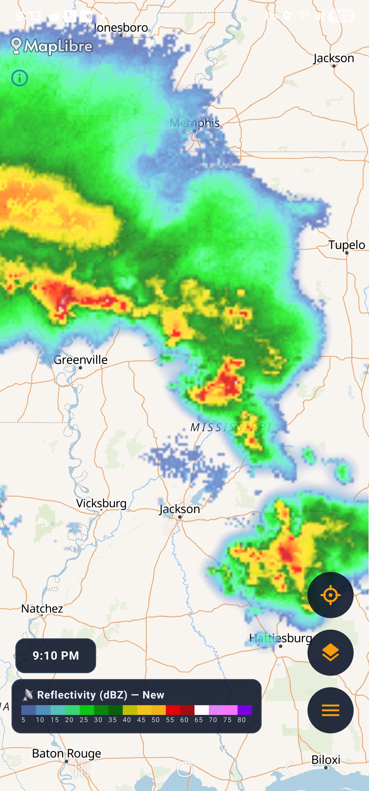
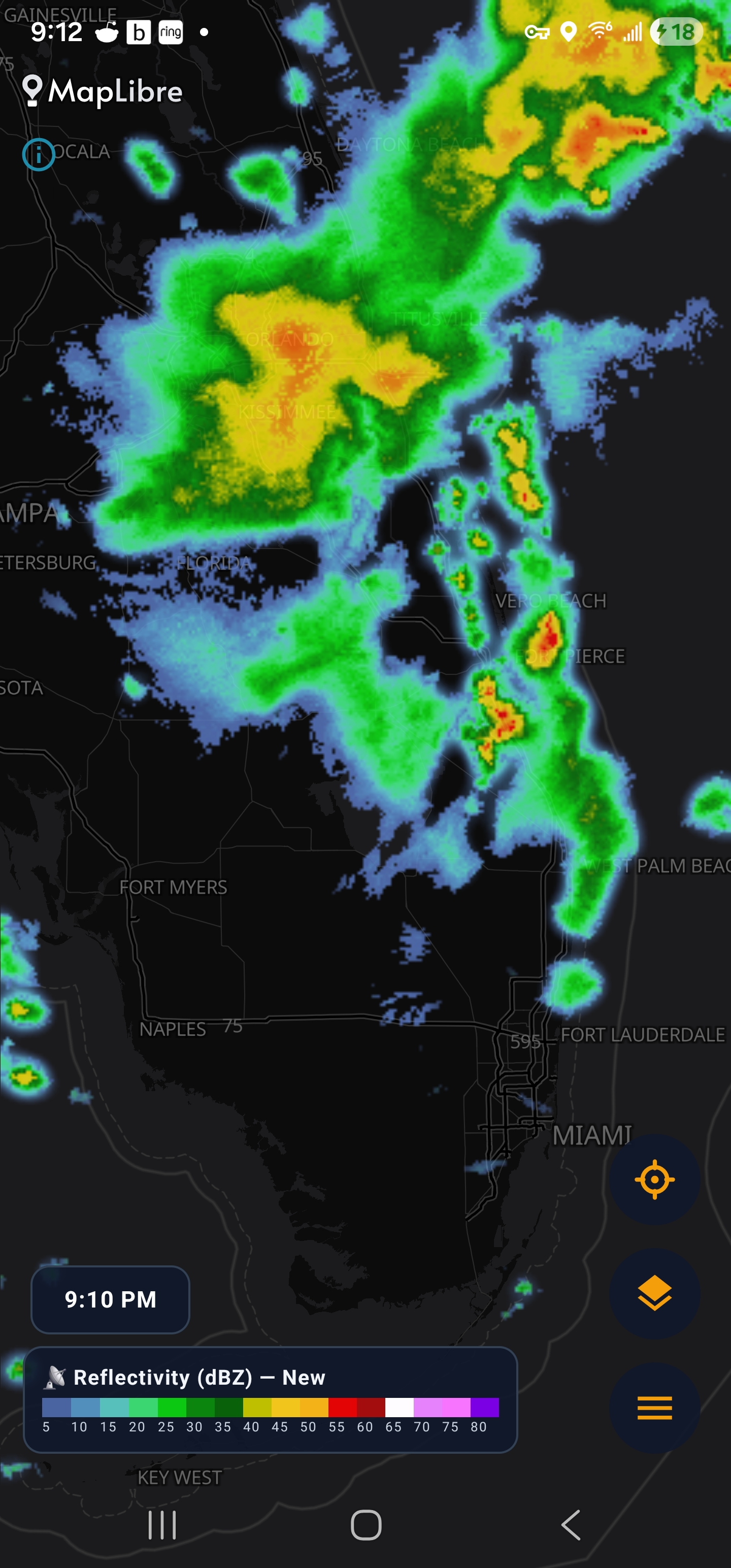
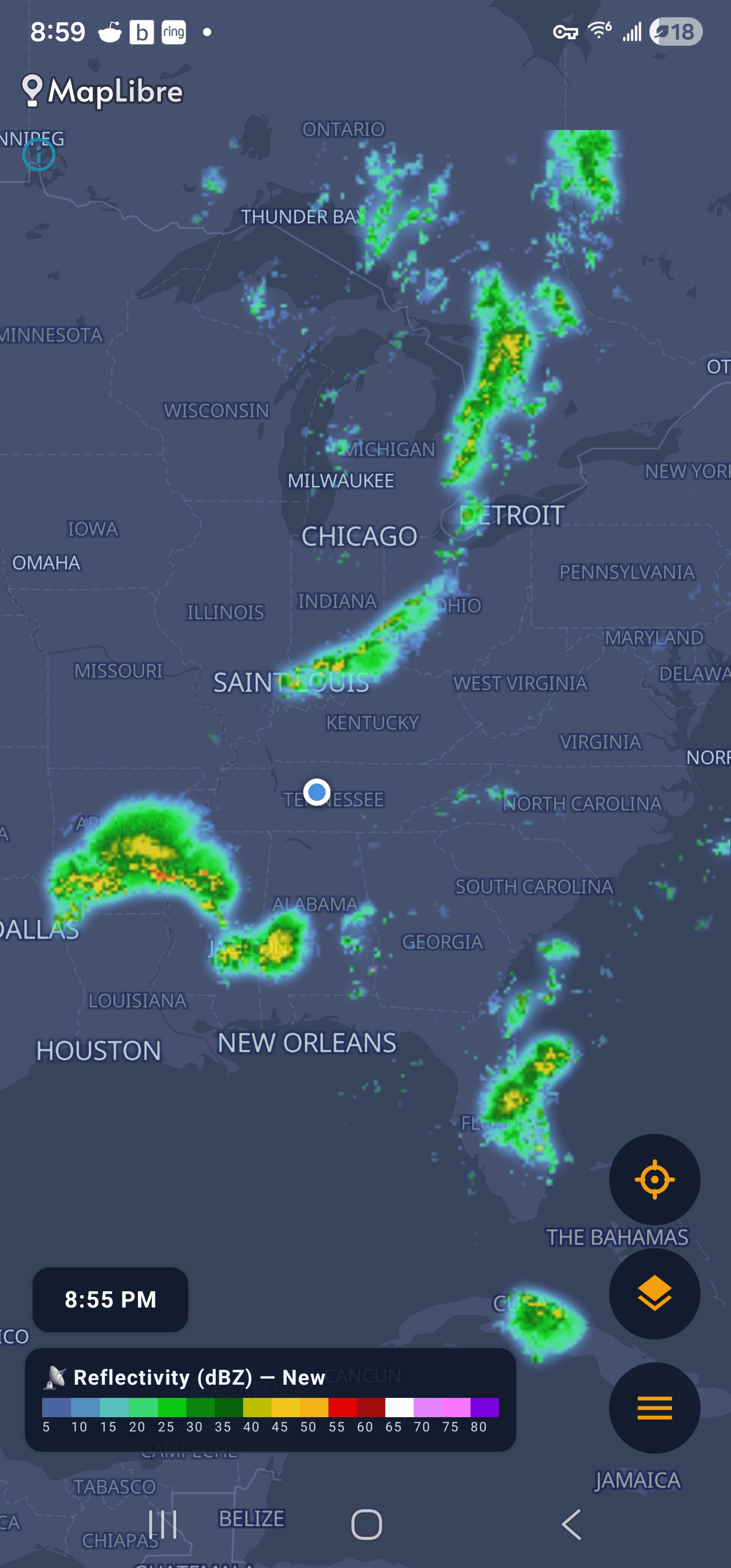
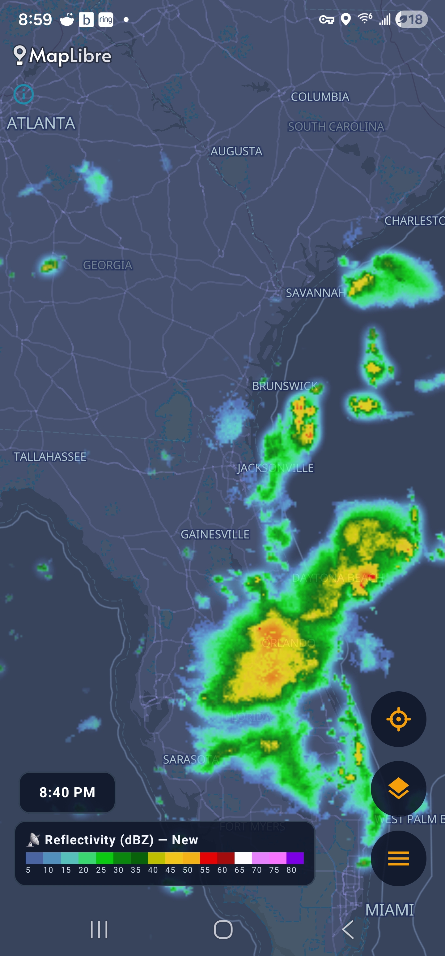
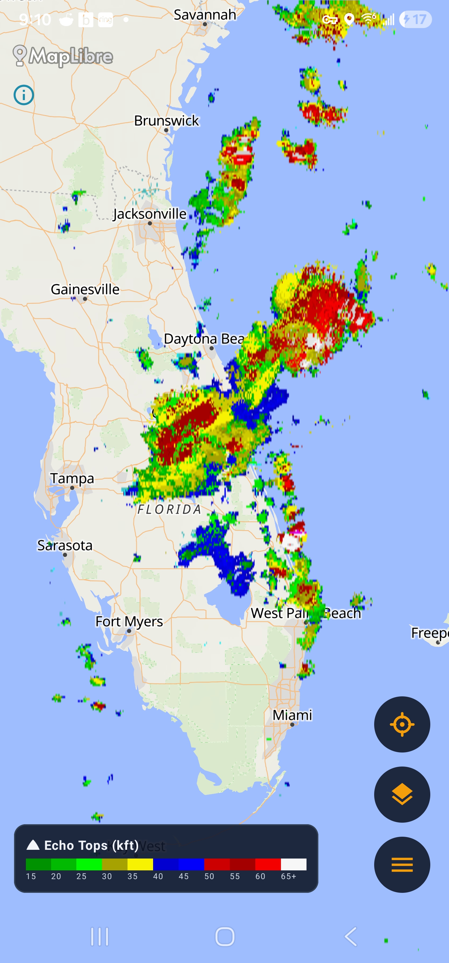
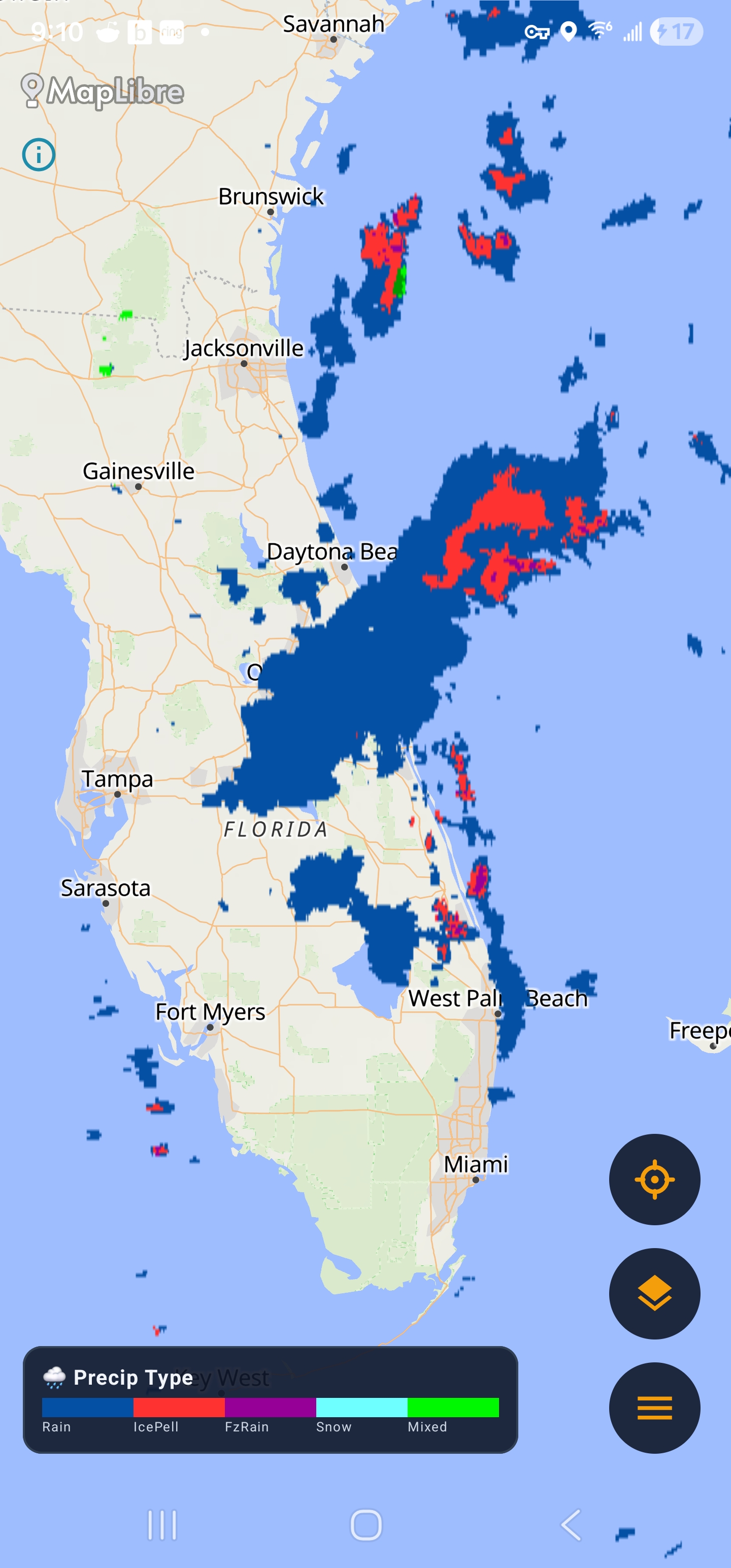
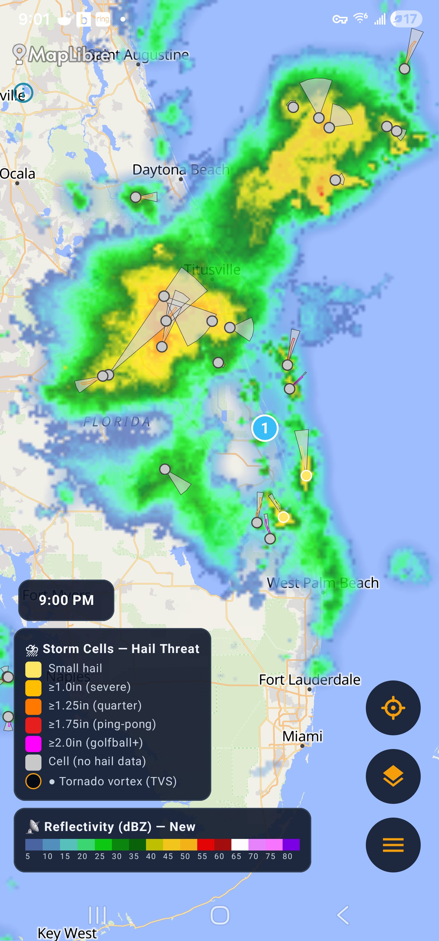
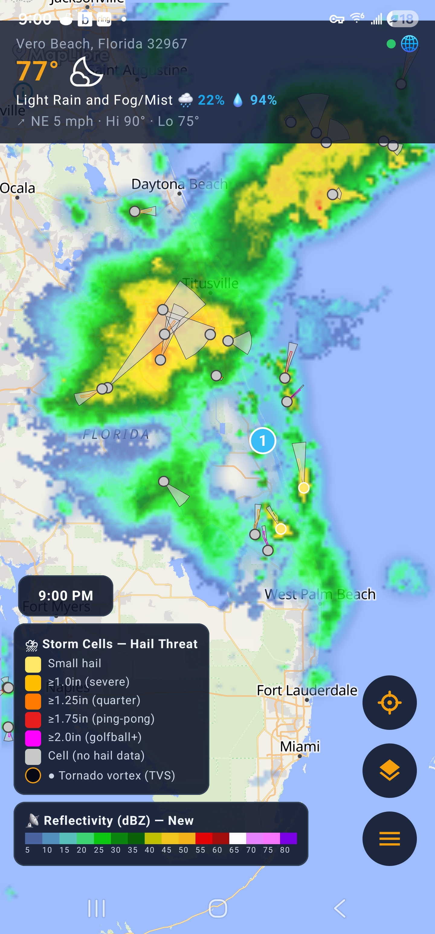
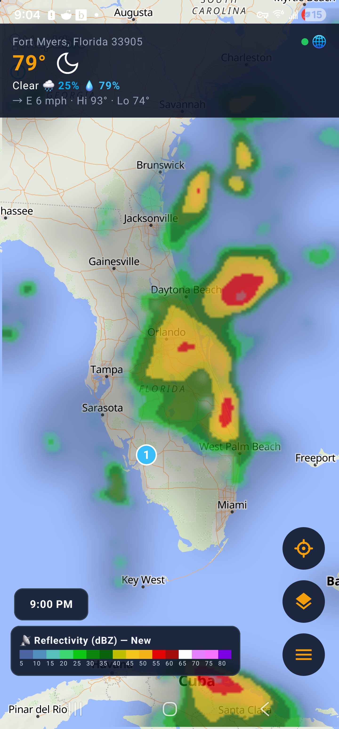
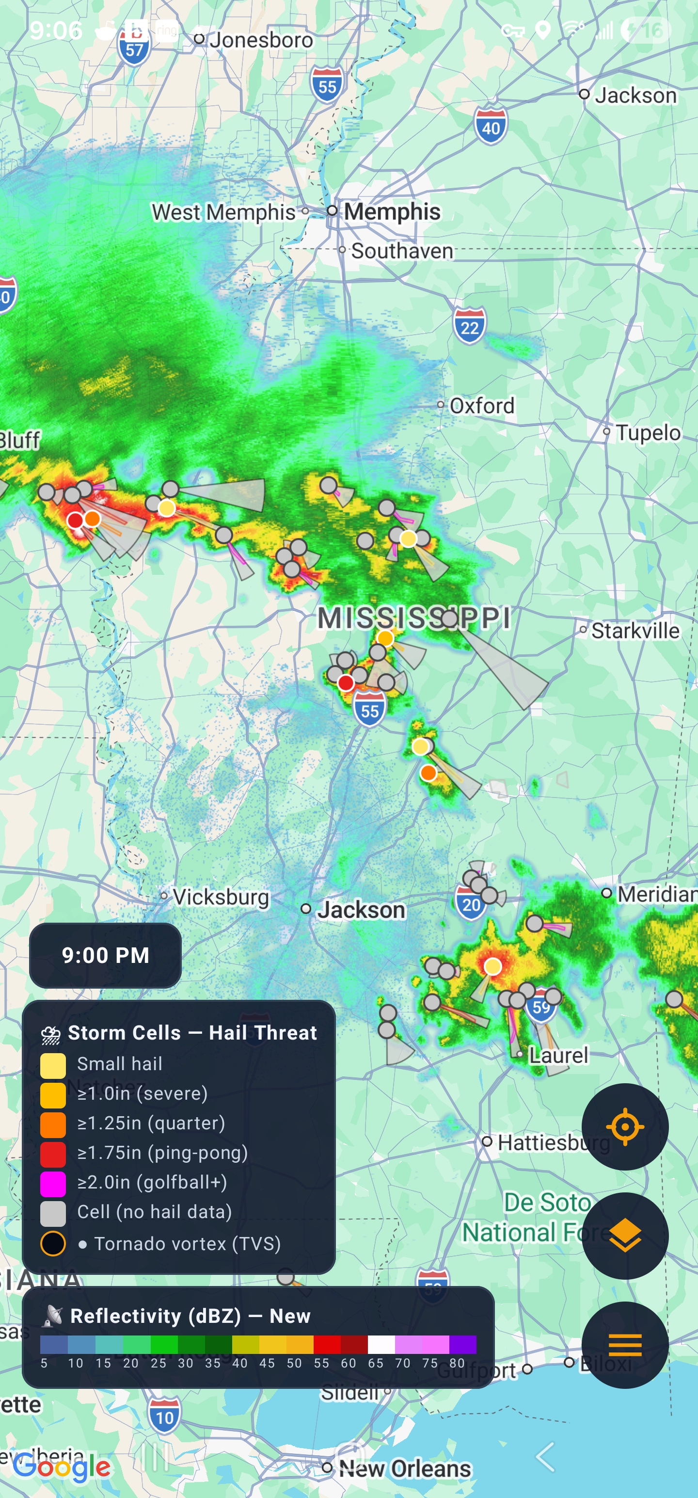
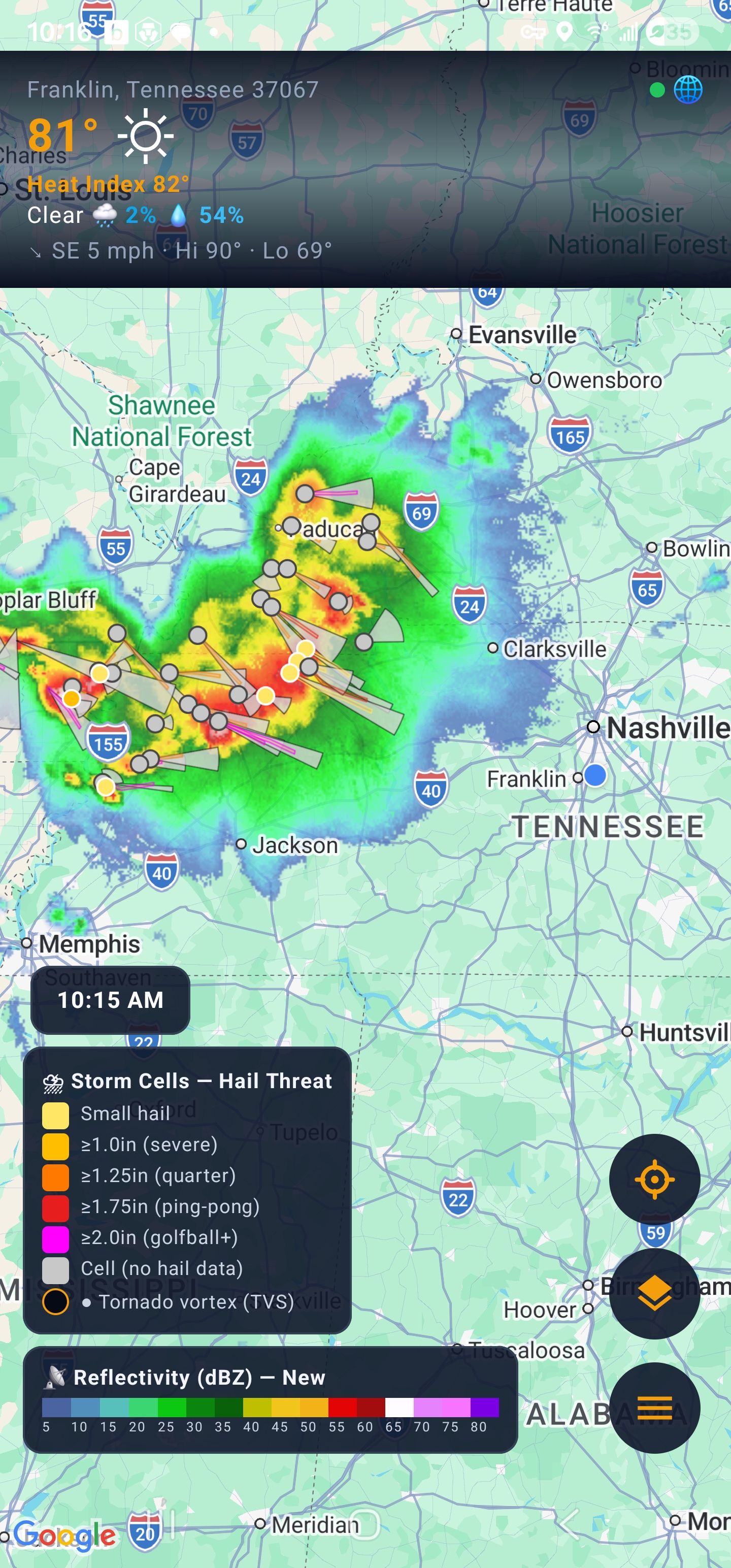
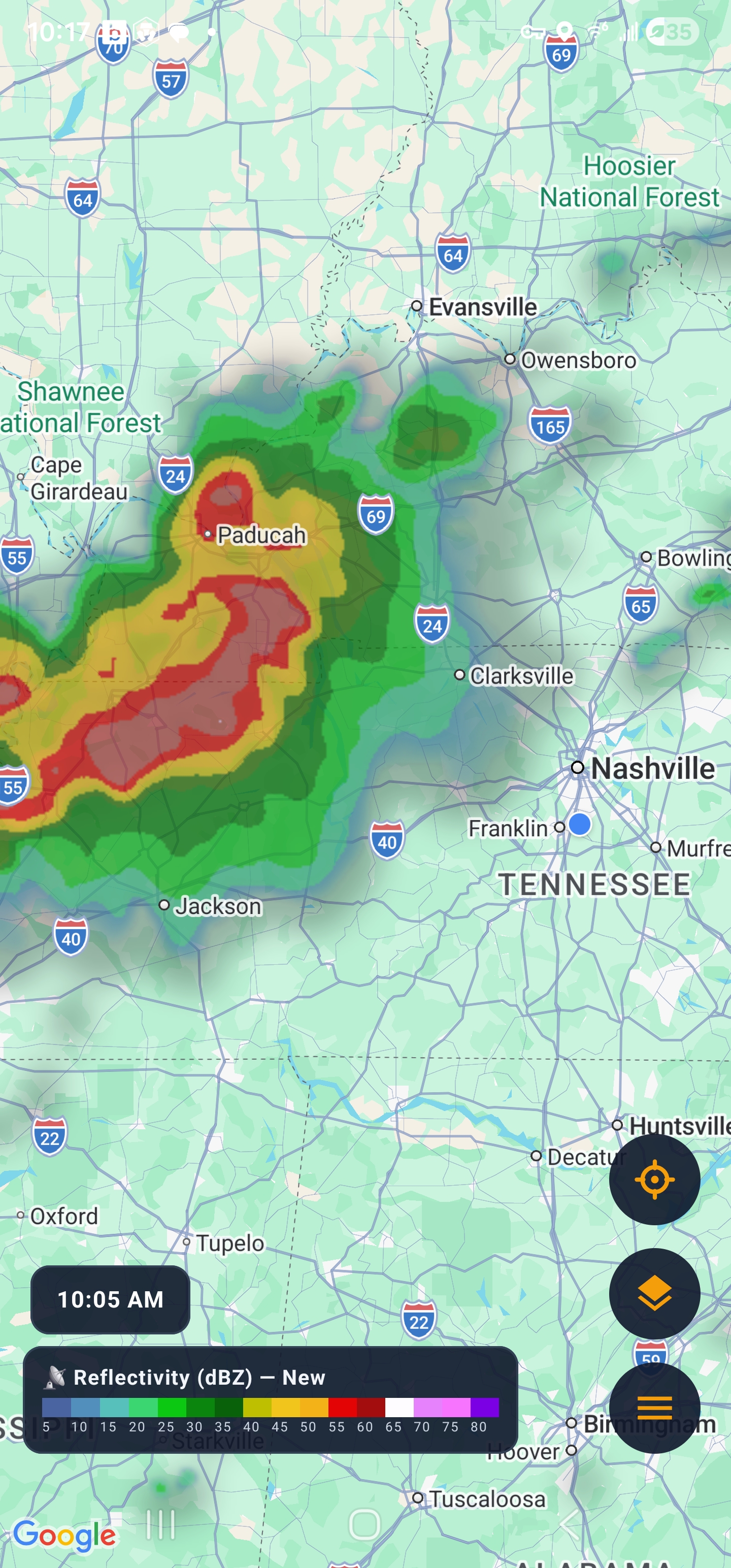
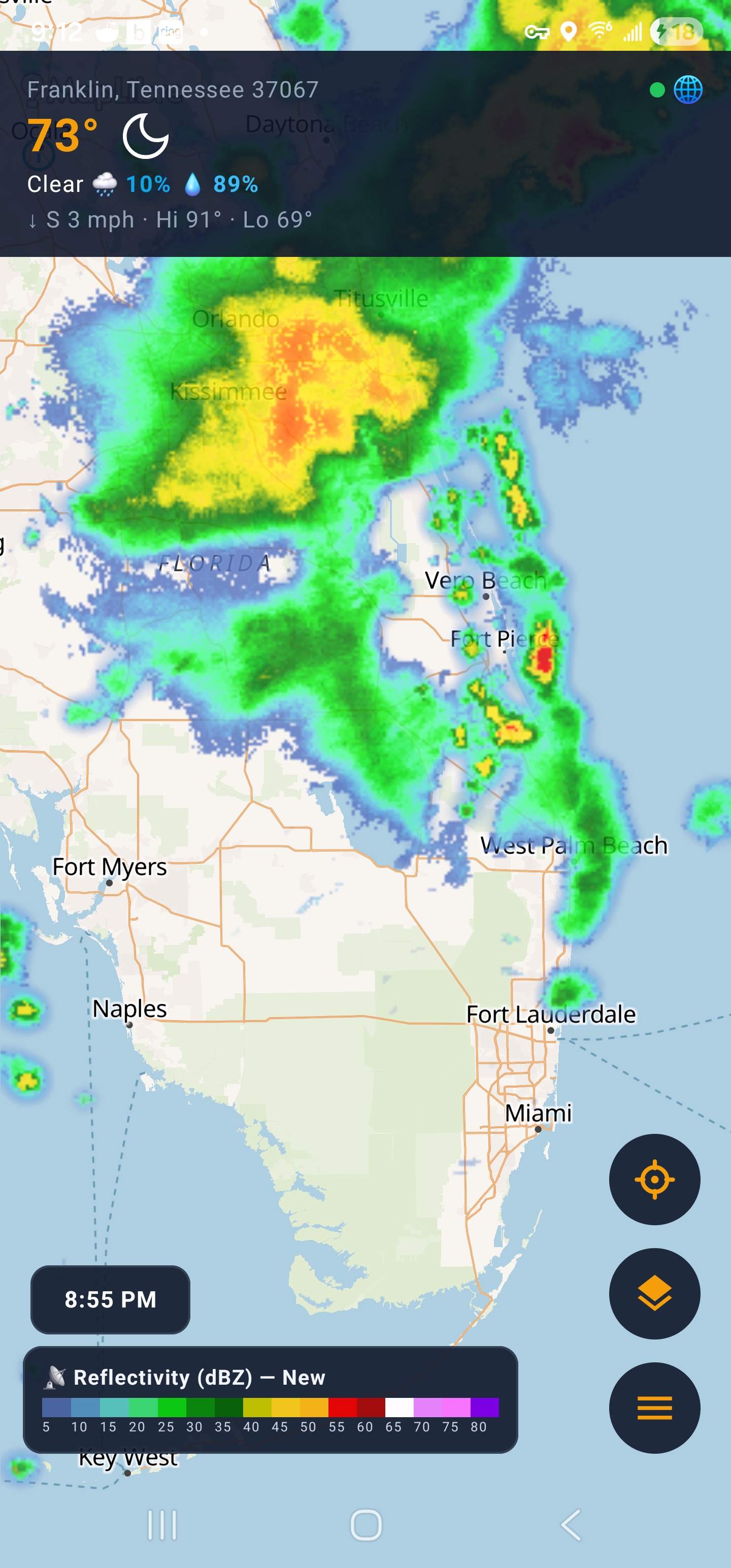
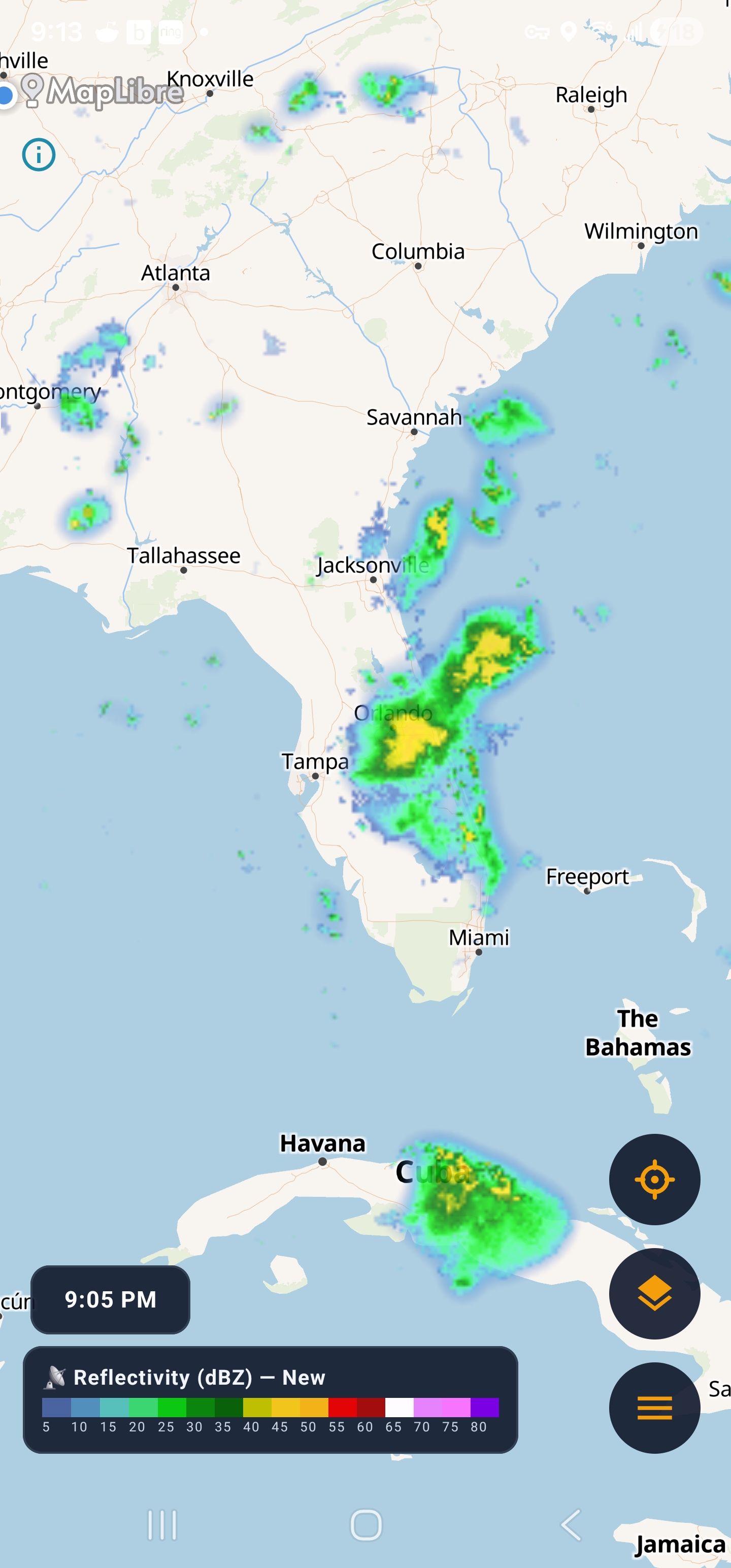
Four steps between the weather service and your screen.
NOAA NEXRAD radar imagery — plus NWS observations and gridpoint forecasts.
Isobaric strips ground clutter, smooths the intensity field and renders animated frames right on your phone — fast, and legend-accurate.
The alert service pushes the moment a warning is issued: banner, map polygon, ticker and a notification — even when the app is closed.
Watch the storm move, read the warning, check the forecast — one app from “is that a storm?” to shelter.
Severe-weather warnings come from the NWS. Lightning alerts come from the sky itself — Isobaric watches for strikes around you and lets you know the moment one happens.
Isobaric tracks lightning independently of the NWS alert stream. Aboard the NOAA GOES weather satellites, the Geostationary Lightning Mapper (GLM) sees every flash over the United States — cloud-to-cloud and cloud-to-ground, day and night. The alert service turns those flashes into a “Lightning detected in the area” push for your exact location, and a live strike-density overlay on the map.
GOES-16 (east) and GOES-18 (west) watch for lightning from orbit, day and night. The service ingests GLM flash data every ~20 seconds and keeps a rolling window, so it always reflects the storm as it is now.
Every 60 seconds the service counts flashes within 25 km of your GPS position over the last 5 minutes. Cross the threshold and it alerts. Lightning alerts are GPS-only, so they fire exactly where you are.
A push notification lands with the flash count and intensity — active or intense — at your location, even with the app closed. No need to be watching the radar.
Flash the ⚡ button to overlay a live strike-density field on the map — a smooth, color-coded view showing where lightning is concentrated right now.
Everything you might want to know before you hit download.
NOAA NEXRAD for the United States — including Alaska, Hawaii, Puerto Rico and Guam. Imagery streams as WMS tiles and is animated on-device. Map tiles come from OpenFreeMap, © OpenStreetMap contributors, with Google Maps as a fallback engine.
Isobaric registers your location with the NWWS-OI alert service, which watches the NWS warning stream. The moment a warning is issued for your area, it’s pushed to your phone — you get a banner, a polygon on the map, a ticker entry and a notification, even if the app is closed. Every event is logged with its issued → delivered → received chain.
Live radar and alerts need a connection, but your last weather conditions and forecasts are cached on-device and shown with a “Cached” badge when you’re offline.
Android 7.0 (API 24) and up — phones and tablets.
Your GPS position centers the radar on you and tells the alert service which warnings matter. You can also pin locations. Location and preferences are stored on-device.
Premium is a $1.99/month subscription that removes all ads and unlocks every radar layer and peek. It’s a one-tap Google Play purchase and you can cancel anytime. All alerts and core radar stay free, forever.
Download Isobaric on Google Play — free, with no sign-up. Every alert, every layer, every forecast. Your phone, watching the sky.
Free with ads · Premium $1.99/mo · Android 7.0+